Paper Accepted at APSIPA 2022
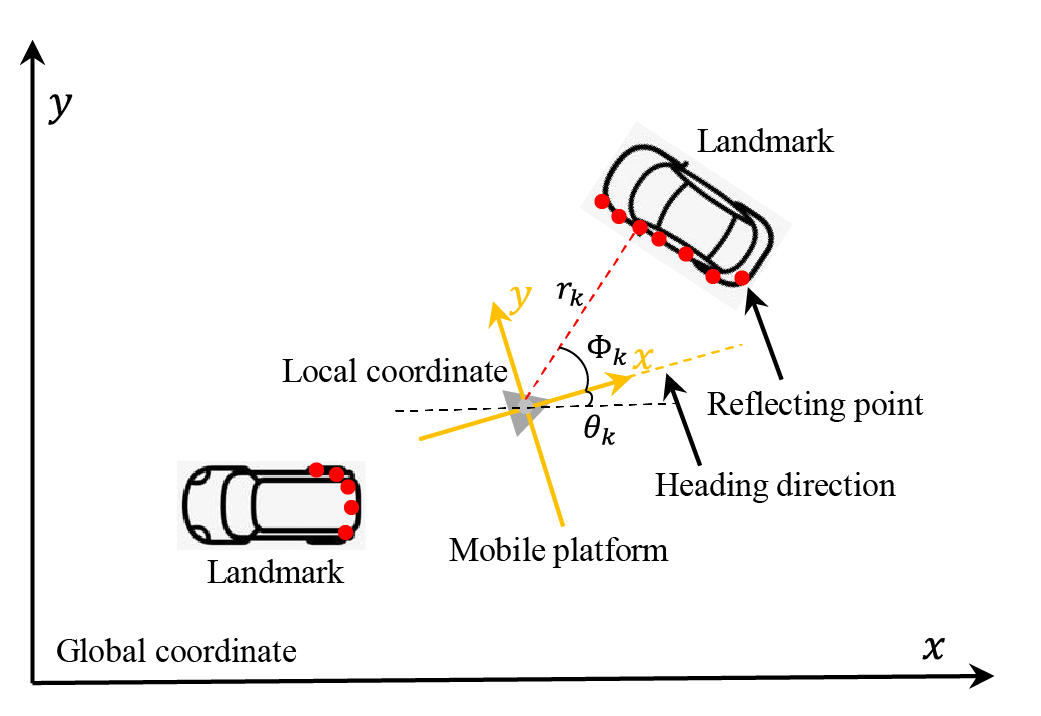
Our paper on “Landmark Management in the Application of Radar SLAM” has been accepted at APSIPA 2022. This work presents an efficient landmark management solution for simultaneous localization and mapping (SLAM) problems involving radar measurements. Our solution maintains a consistent map of the landmarks detected using the radar sensor relative to the estimated pose of the platform. We demonstrate our solution using the extended Kalman filter SLAM algorithm.
This work is the first output of our multi-institute collaboration on using a rotational synthetic aperture radar (RoSAR) sensor for SLAM. This project includes the University of Birmingham, the RF & antennas research group at RMIT University and the Dalian Maritime University.
A copy of the paper is available here: Landmark Management in the Application of Radar SLAM , and the code to implement the solution is available on GitHub at SLAM Landmark Management.
